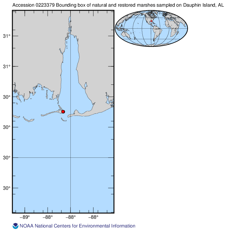
0223379_map.jpg
Dataset description:
Description This dataset includes denitrification rates across a typical northern Gulf of Mexico salt marsh landscape that included a natural marsh, a tidal creek, and a 21-year-old...
Additional Information
| Field | Value |
|---|---|
| Data last updated | July 28, 2022 |
| Metadata last updated | July 28, 2022 |
| Created | July 28, 2022 |
| Format | JPEG |
| License | No License Provided |
| Has views | True |
| Id | 64536e75-9f1e-494d-bb9e-3227744557e7 |
| Mimetype | image/jpeg |
| Package id | d09effd4-b11c-400e-9264-e5f98940e256 |
| Position | 13 |
| Size | 152.1 KiB |
| State | active |
| Url type | upload |
